

Baia dei Saraceni, Varigotti
Last updated on October 19, 2026Why visit Baia dei Saraceni, Varigotti
Because this beach was a working harbour for more than a thousand years, and somebody filled it in on purpose.
The draw is a small enclosed bay with an enormous history. After the fall of the Roman empire the port here gave Byzantine ships a safe landing, maintaining the link with the fortifications still active along the Ligurian Apennines and the Maritime Alps; it was defended by a castrum on Punta Crena above, and later served the Del Carretto as a base of maritime defence and attack.
The friction is the walk and the crowd. The bay is reached on foot, enclosed by rock, and small. Free camping ended in the mid-1960s for the obvious reason, and the village it belongs to occupies a strip 200 to 300 metres wide that fills completely in August.
The smart way is to come out of season and look up. The old church of San Lorenzo stands mid-slope on the promontory, dominating the bay — it was built above a port and outlived it. Higher still are the 1559 tower, the convent remains, the secular olive grove and the castrum ruins; all have their own pages here.
Quick facts
- Type: Beach, Historic Place, Nature
- Local name: Baia dei Saraceni, Varigotti (vedi la pagina italiana)
- Built: Not built -- a natural inlet used as a harbour from at least the Byzantine era, silted up by 1341 and a beach since
- Architectural style: A natural inlet enclosed by the Punta Crena promontory, with the old church of San Lorenzo on the slope above it
Visit responsibly
This is a small enclosed bay with no published facilities. Nothing read for this page describes bins, water, toilets or a lido. Carry out what you carry in, on the assumption that nobody else will.
Camping here is over, and it ended for a reason. It was still possible until the mid-1960s. A bay this size, reached on foot and enclosed by rock, cannot absorb that use — which is the same reason August is the month to avoid.
The slope above is an archaeological site. Punta Crena carries the castrum ruins, a Byzantine perimeter wall, fifteenth-century village remains, convent remains and the 1559 tower, with the old church of San Lorenzo mid-slope. None of it is described as consolidated or fenced; the Museo Archeologico del Finale guides it.
The cliffs east of here are unstable, and lethally so on the record. Vertical crumbling rock runs towards Capo Noli; a landslide at Malpasso killed two engine drivers in 1949, and the railway was abandoned for an inland tunnel in 1977. Stay off the cliff bases and the old alignment.
Where it is
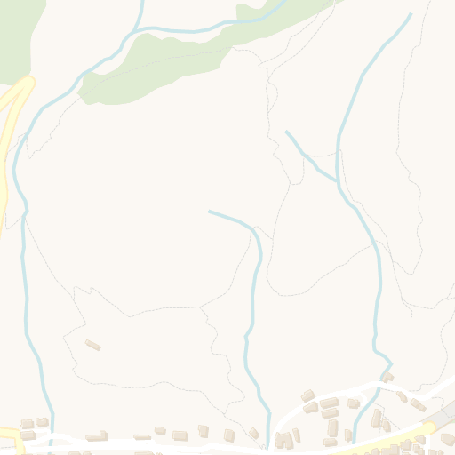
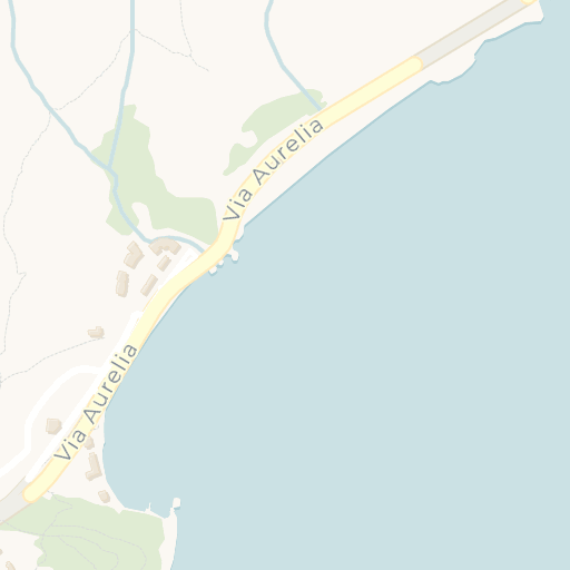

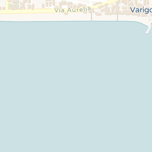

Get directions Open in Apple Maps
© OpenStreetMap contributors · © CARTO · 44.18399, 8.40754
Plan your visit
Nothing is published for the bay itself — no access description, no facilities, no restrictions. The Comune di Finale Ligure (Via Pertica 29, switchboard 019 689011) publishes no beach information, no parking scheme and no ZTL for any part of the comune, and nothing else read for this page describes the approach.
What is known is that it is reached on foot and that camping ended. The bay lies behind the Punta Crena promontory, which separates it from the village. Free camping on the beach was possible until the mid-1960s and is not now.
The promontory above it is guided. The Museo Archeologico del Finale lists the promontory of Varigotti among the four sites of its MUDIF programme, with dates in its events calendar and bookings by telephone only on 019 690020. That is the one organised way to see the ruins that overlook this bay.
Getting to Varigotti. No working station: the line moved inland entirely into tunnel in 1977, the old station is private property and the trackbed through the village is the public car park, for which no tariff is published. The working station is Finale Ligure Marina on the Genoa-Ventimiglia line; the A10 exit is Finale Ligure.
Verified against Comune di Finale Ligure, October 2026.
When to visit
May, June, September and October. The sea is usable at either end of the season and the bay is not full. These are the months that make the walk worth it.
August is the problem and the record says so. Varigotti's greatest flow of holidaymakers comes in the summer period, and the village sits on a strip 200 to 300 metres wide. A small bay reached on foot at the end of that strip is not where to be in August.
Combine it with the promontory out of season. The 1559 tower, the convent remains, the olive grove, the castrum ruins and the old church are all on the hill above, and an exposed limestone climb is a spring or autumn job.
Winter is mild and the bay is empty. Varigotti shares the climate of the comune of Finale Ligure: the ridge between Monte Settepani and Pian dei Corsi, almost always between 1,000 and 1,400 m, blocks the cold air off the Po plain. No temperature is quoted here: the source gives means for a December-to-February window in a truncated sentence and names no station.