

Punta Crena, Varigotti
Last updated on October 19, 2026Why visit Punta Crena, Varigotti
Because four different centuries left something on this headland and none of them cleared up after the last.
The draw is a hill with a tower, a convent, an olive grove and a Byzantine fort on it. The watchtower of 1559, raised after a Turkish incursion, stands on the summit with the remains of a convent beside it; a centuries-old olive grove covers the seaward flank; and the ruins of the Byzantine castrum that Rotari destroyed in 643 are here too, with a perimeter wall of the civil settlement still standing on the eastern side.
The friction is that none of it is labelled, fenced or explained on site. Nothing read for this page publishes an opening hour for the tower, a path grade or a walking time. The promontory is simply there, above the village, with four sets of ruins on it and no interpretation.
The smart way is to go with the archaeologists. The Museo Archeologico del Finale lists the promontory of Varigotti among the four sites of its MUDIF programme and calls it one of the most striking areas of the Ligurian Ponente for its landscape and naturalistic value as well as its archaeology. Dates are in its events calendar; bookings on 019 690020, by telephone only.
Quick facts
- Type: Ruins, Historic Place, Nature
- Local name: Punta Crena, Varigotti (vedi la pagina italiana)
- Built: A Byzantine castrum of the sixth or seventh century, destroyed by Rotari in 643; medieval remains of the fifteenth century on the eastern slope; the watchtower built in 1559 after a Turkish invasion
- Architectural style: A limestone headland carrying a sixteenth-century watchtower, convent remains, a secular olive grove and the ruins of a Byzantine fortification, with a perimeter wall of the Byzantine civil settlement surviving on the eastern flank
Visit responsibly
Four sets of ruins, none of them consolidated or fenced on the record. A Byzantine castrum, a Byzantine perimeter wall, fifteenth-century village remains and the convent beside the tower. Nothing read for this page describes any of it as stabilised, which is exactly why it should not be climbed on.
Go with the museum if you can. The Museo Archeologico del Finale guides this promontory with archaeologists and takes bookings on 019 690020. An archaeological site with no signage and no barriers is one where a guide is a conservation measure, not a luxury.
The olive grove is someone's agriculture. It is secular — centuries old — and the last working remnant of the economy that fed this village before tourism. Treat it as cultivated ground, not as scrub to cut across.
The coast east of here is actively unstable. Vertical crumbling rock runs towards Capo Noli; a landslide at Malpasso killed two engine drivers in 1949 and the railway was eventually abandoned for an inland tunnel. Stay off the cliff edges and off the old alignment.
Where it is
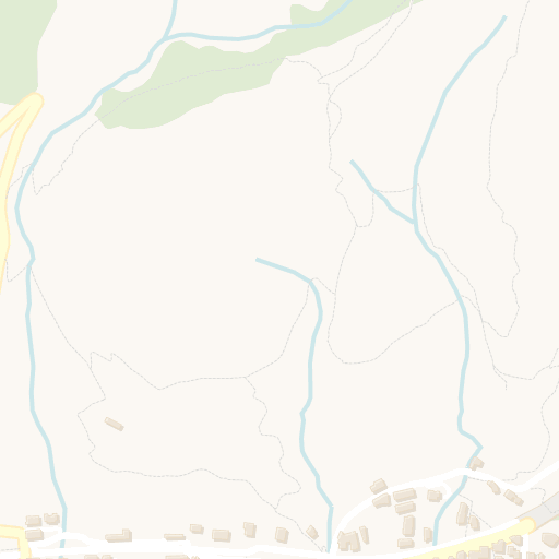
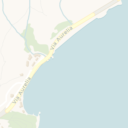


Get directions Open in Apple Maps
© OpenStreetMap contributors · © CARTO · 44.18177, 8.40694
Plan your visit
The promontory is guided, and that is the one organised way in. The Museo Archeologico del Finale lists the promontory of Varigotti among the four sites of its MUDIF programme, publishing dates in its events calendar and taking bookings by telephone only on 019 690020. It describes the headland as one of the most striking areas of the Ligurian Ponente for its landscape and naturalistic value as well as its archaeological and monumental one.
No hour or admission is published for the tower or for anything else on it. The Comune di Finale Ligure (Via Pertica 29, switchboard 019 689011) publishes none for any building in the comune. Nothing on this page should be read as saying the tower can be entered.
Assume a walk, and assume no interpretation on site. No path grade, distance or walking time is published anywhere read for this page. The clearest evidence of the terrain is that the 1995 restoration of the church below the summit had to lift its materials by helicopter.
Getting to Varigotti. There is no working station: the line moved inland entirely into tunnel in 1977 and the old trackbed through the village is now the public car park. The working station is Finale Ligure Marina on the Genoa-Ventimiglia line; the A10 exit is Finale Ligure. The finds from this promontory's church are at the museum in Finalborgo, €5 full and €3 reduced.
Verified against Museo Archeologico del Finale (MAF) / Museo Diffuso del Finale (MUDIF), October 2026.
When to visit
Spring and autumn, and check the guided calendar first. March to May and September to October are the comfortable windows for an exposed limestone climb; the Museo Archeologico del Finale publishes its promontory visits as dated events rather than as opening hours.
The olive grove and the views reward low sun. Early and late in the day, and in the months either side of summer, when the light runs along the cliff coast towards Capo Noli rather than straight down onto it.
August fills the village below. Varigotti sits on a strip 200 to 300 metres wide and takes its heaviest load in summer. The headland itself is quieter than the beach, which is an argument for climbing it — but you still have to park and start in the village.
Winter is mild and the ruins are clearest. The ridge between Monte Settepani and Pian dei Corsi, almost always between 1,000 and 1,400 m, blocks the cold air off the Po plain. No temperature figure is quoted here: the source gives means for a December-to-February window in a truncated sentence and names no station.