

Brooklyn Bridge
Last updated on October 6, 2026Why visit Brooklyn Bridge
The Brooklyn Bridge offers a rare chance to read a major nineteenth-century structure from within it. As the promenade rises, the stone towers, radiating stays and curving main cables change from a distant outline into a working system around you. Looking outward reveals the East River, Lower Manhattan and New York Harbor; looking down shows why the bridge still matters to daily movement between boroughs.
Visit if you:
- want to experience bridge engineering at walking pace
- enjoy city views that change throughout a continuous crossing
- want to connect Lower Manhattan with Brooklyn on foot
- are interested in the Roeblings and nineteenth-century public works
Skip it if you:
- need a quiet lookout with little pedestrian traffic
- cannot manage a long, exposed incline without frequent rest
- want an indoor exhibition rather than an active transport route
Quick facts
- Type: Famous Wonder, Monument, Bridge
- Visitor access: Open to visitors
- Admission: Free
- Reservation: Not required — tickets on the door
- Typical visit: About 1 hour
- Built: 1869–1883; opened 24 May 1883
- Built by: Washington A. Roebling, with Emily Warren Roebling as acting engineer and liaison
- Built for: A permanent crossing between Brooklyn and Manhattan
- Designed by: John A. Roebling
- Architectural style: Suspension bridge with Gothic Revival towers
- Height: 84.4 m
- Size: 1.83 km total length; 486 m main span
- Opened: 24 May 1883
- Central clearance: 41.2 m above high water
Visit responsibly
The promenade is both an attraction and a commuter route. Keep narrow sections moving, and wait for a wider area before stopping with a group or setting up a photograph.
Use the pedestrian promenade on foot and the protected roadway path by bicycle. Crossing between them at unmarked points creates conflicts with fast-moving riders and traffic.
Do not attach locks, stickers or objects to the cables, railings or masonry. The bridge is an actively maintained historic structure, and added material becomes a removal and conservation problem.
Carry litter off the span and secure hats, wrappers and loose belongings. Anything dropped from the elevated deck can reach traffic, the river or the streets below.
Where it is
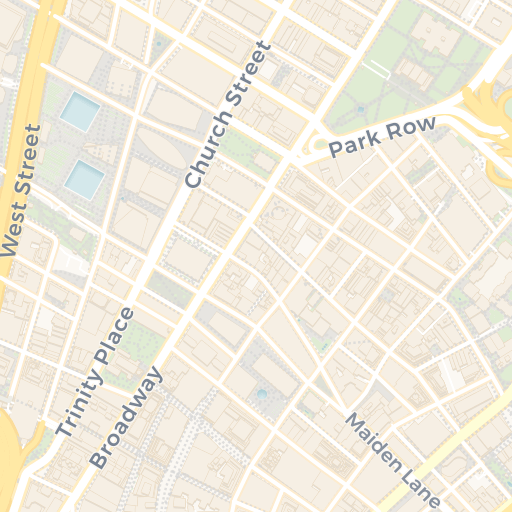
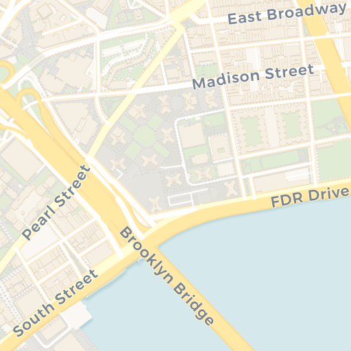
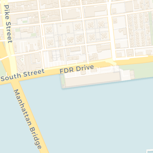
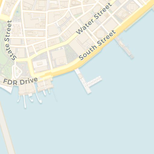
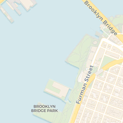
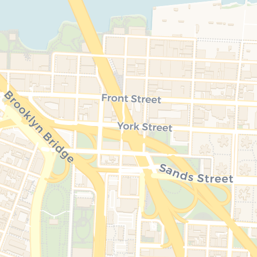
Get directions Open in Apple Maps
© OpenStreetMap contributors · © CARTO · 40.70622, -73.99702
Plan your visit
Admission: Free · Free public pedestrian crossing; no ticket or reservation.
Prices verified October 2026
Best viewpoint: Elevated promenade near the Brooklyn tower, looking toward Lower Manhattan
Walking the bridge
The pedestrian promenade is a free public crossing with no admission gate or reservation. Allow about an hour for a one-way experience with stops, rather than treating the bridge as a short viewpoint. The long approaches account for much of the 1.83-kilometre total length.
Where to enter
In Manhattan, follow the signed pedestrian connection near City Hall and Centre Street. In Brooklyn, use the signed approach around Tillary Street and Adams Street. Routes for walkers and cyclists are separate on the span; follow current markings where they divide at the approaches.
Crowds and narrow points
Early morning usually gives more space than a fall weekend afternoon. NYC DOT counted about 34,000 pedestrians on an average fall weekend day in late 2023, and parts of the promenade narrow below 1.5 metres. Keep moving through bottlenecks and step aside only where the path opens.
Current access work
As of 5 October 2026, NYC DOT has begun work on protected cycling connections along Adams Street and Boerum Place in Brooklyn after completing Manhattan-side access changes earlier in the year. Pedestrians should follow on-site signs; cyclists should check the current DOT project notice before choosing an approach.
Conditions on the span
The route is exposed to wind, sun, rain and winter ice, with no indoor visitor facility on the bridge. The main approaches are sustained slopes. Bring water in warm weather, secure loose items and use a current forecast rather than judging conditions only from street level.
Verified against City of New York, October 2026.
When to visit
April to May and September to October usually offer the best balance of mild temperatures and long-enough daylight. June through August can be hot and humid, while fall weekends draw particularly heavy pedestrian traffic. December through February is colder and wind on the open span can make conditions feel harsher than at street level.
For walking room and softer light, choose an early morning on a weekday. Sunset gives strong skyline views but concentrates visitors near the centre of the span. Check the forecast for wind, rain or ice and review NYC DOT notices for temporary approach work before setting out.